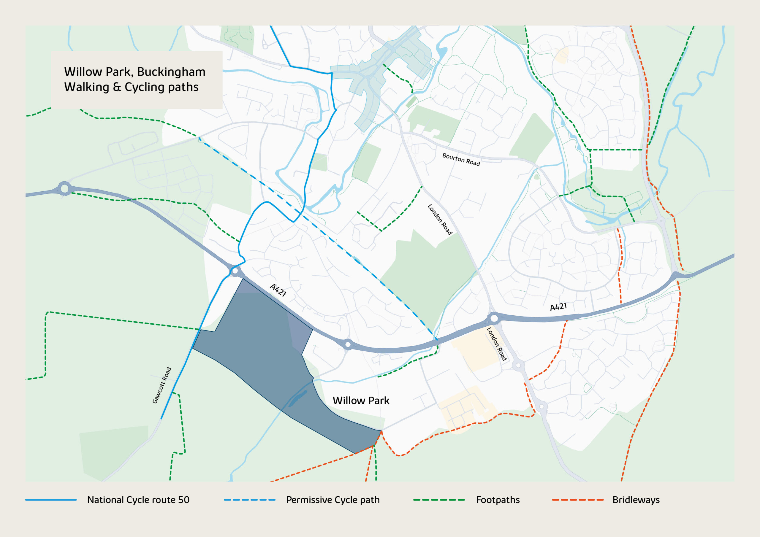
Willow Park is surrounded by a number of walking and cycling routes providing access to destinations in Buckingham and Buckinghamshire. Take a look at your local walking and cycling routes below:
The National Cycle Network provides huge benefits to health and wellbeing, with 4.4 million people using the network between 2017 and 2018. Willow park benefits from direct access onto National Cycle Network route 50. This new route is currently undergoing development but upon completion will connect Maidenhead with Winslow.
For more information on the National Cycle Network visit the SUSTRANS website:
Bikeability is a national cycle training programme that teaches adults and children the practical skills needed to ride a bike. There are three levels of training, covering the basics of balancing and control to riding independently on busy roads. Bikability for children is already delivered across Buckinghamshire in schools.